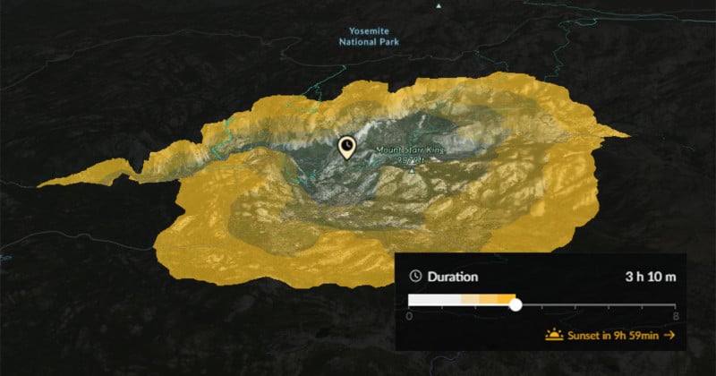
If you’re a photographer who often hikes in the great outdoors, the mapping service FATMAP has added a new feature that you may find useful. It’s called the Travel Distance layer, and it shows on a 3D map exactly where you’ll be able to hike to in any given amount of time. The map doesn’t […]
petapixel.com2019-6-5 20:36